2026 | Professional

The Leica RTC Series: A New Dimension in Reality Capture
Entrant
Leica Geosystems
Category
Product Design - Computer & Information Technology
Client's Name
-
Country / Region
Switzerland
Gallery
About The Entry
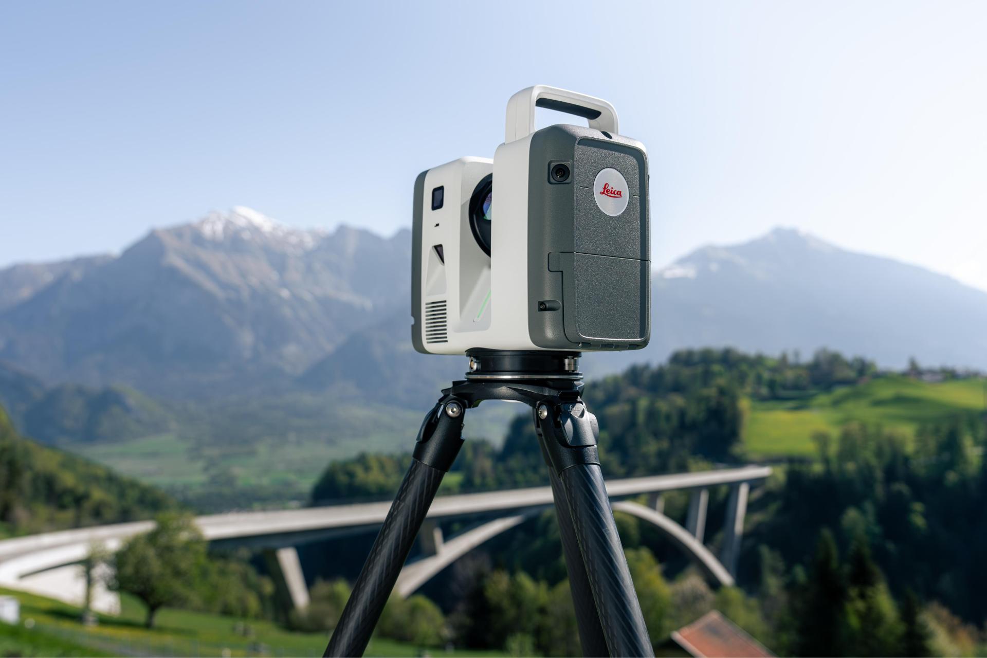
The new Leica RTC series gives reality capture professionals one trusted design with three levels of performance: the RTC300, RTC500 and RTC700. Each model offers a clear balance of speed, range and capability, allowing teams to choose the scanner that fits today’s projects while providing a platform that can scale as requirements grow.
Built on decades of Leica Geosystems leadership in terrestrial laser scanning, the series advances the foundations established by the Leica RTC360. It combines trusted Leica RTC accuracy and ease of use with upgraded hardware, intelligent software and cloud connectivity, creating a lighter, smarter and more connected approach to reality capture.
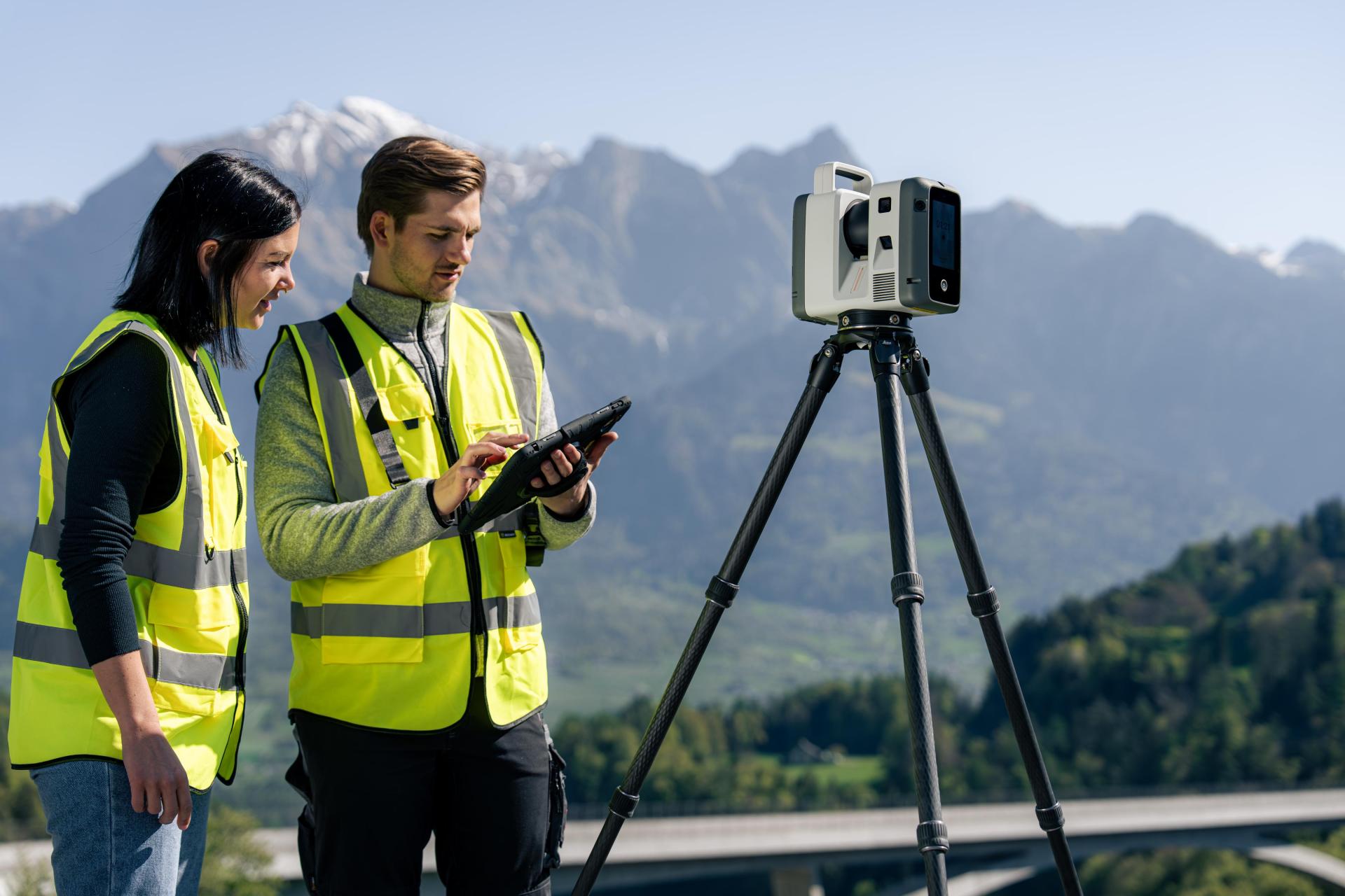
The RTC series is designed for a landscape where capturing data is only the beginning. High-volume 3D data must move quickly from site to office, remain visible to stakeholders and support confident decisions throughout the project. By connecting capture, collaboration and delivery in one continuous workflow, the RTC300, RTC500 and RTC700 help reduce fragmentation, protect data quality and keep teams aligned from the first scan to the final deliverable.
Across the range, high-speed, high-density laser scanning is supported by onboard storage and a robust IP55-rated design for demanding environments. Automatic self-calibration helps maintain performance in the field, while GNSS capabilities support automatic georeferencing as users move between scan positions.
VIS technology automatically registers scans on site, giving users immediate access to complete, usable datasets for quality checks and downstream work in BIM, CAD and visualisation tools. Multi-scanner connectivity extends this visibility across coordinated scanning operations, enabling teams to understand progress, identify gaps and make decisions while capture is still underway.
Together with Livelink in Leica Cyclone FIELD 360 and Hexagon GeoCloud, the Leica RTC series connects field and office teams in real time. Project data can be shared and reviewed as work unfolds, helping teams begin verification and delivery sooner, coordinate more effectively and reduce the risk of costly site revisits. The result is a faster, scalable reality capture workflow built around confidence, continuity and collaboration. It gives every project team greater control over data, decisions and deliverables, without interrupting the pace of work on site today.
Credits

Entrant
西安万象城
Category
Landscape Design - Open Space Design

Entrant
Nikken Sekkei FZ-LLC
Category
Architectural Design - Skyscrapers
Entrant
CSWADI
Category
Architectural Design - Museum, Exhibits, Pavilions

Entrant
Heart & Dwelling / SINO-OCEAN HOUSE
Category
Interior Design - Luxury