2022 | Professional

BLK2FLY
Entrant
Leica Geosystems, part of Hexagon
Category
Product Design - Imaging & Vision
Client's Name
-
Country / Region
United States
Gallery


About The Entry
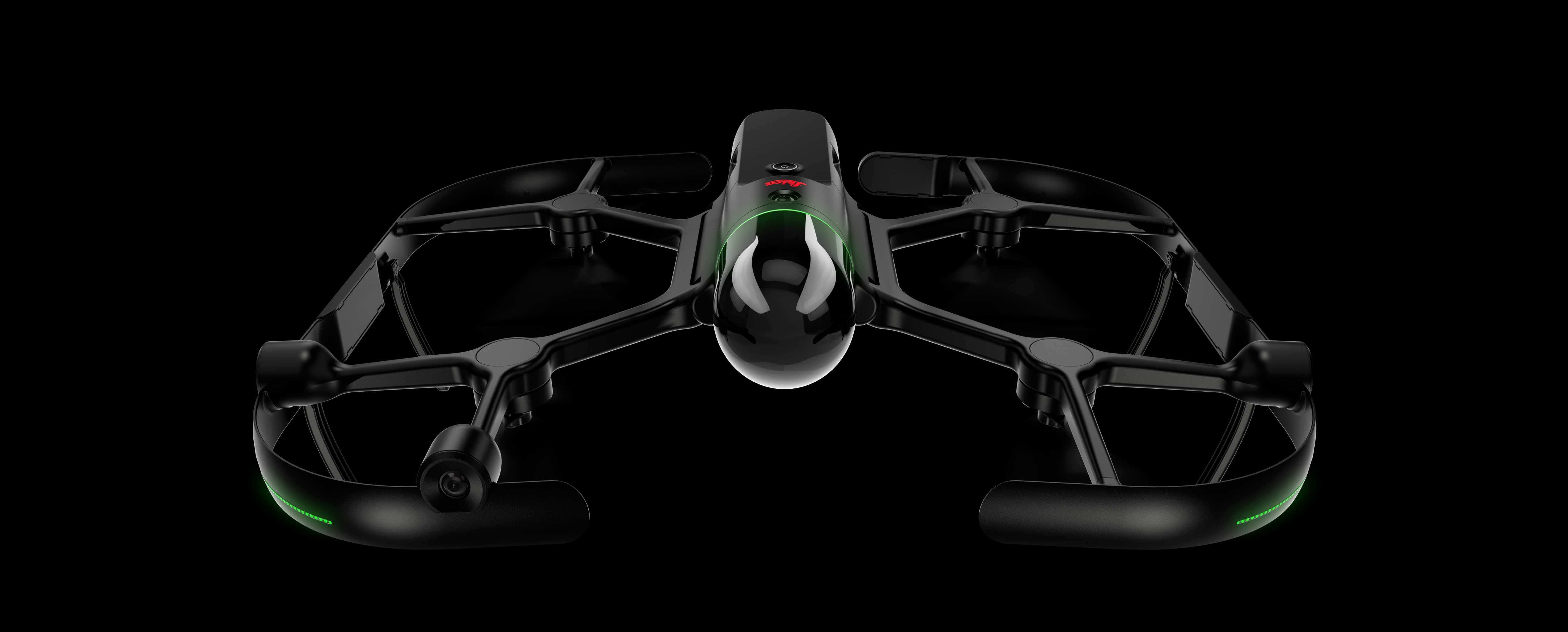
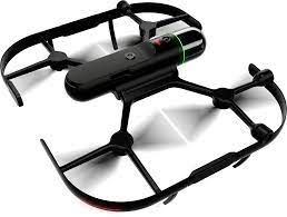
The Leica BLK2FLY from Leica Geosystems, part of Hexagon, is the world’s first fully integrated LiDAR Unmanned Aerial Vehicle (UAV). It is an autonomous flying laser scanner featuring advanced obstacle avoidance for easy UAV scanning. The BLK2FLY is designed for anyone to easily and quickly capture the exterior features and dimensions of buildings, structures, and other environments that would otherwise be inaccessible or require a traditional drone or UAV with a LiDAR or photogrammetry payload. To operate it, a user makes a few simple taps on a tablet and the BLK2FLY captures an object’s complete dimensions autonomously from the air.
Following are three key differentiators of the BLK2FLY:
1. Before the BLK2FLY, there were two primary options for UAV Mapping:
• LiDAR payload mounted on an existing UAV, which is cumbersome and requires special training.
• UAV photogrammetry, which is highly dependent on environmental conditions and requires special training and is not as accurate as laser scanning.
The BLK2FLY solves these challenges. Built on advanced flight safety technology, the BLK2FLY’s sensors are fully integrated, it is portable, and it provides fast, autonomous laser scanning. It’s easy to use and doesn’t require special training other than a UAV pilot license.
2. Addresses a costly and complex issue in building and renovating structures: the need to quickly, accurately, and comprehensively capture large objects and areas. Along with the project size and scope, variables can include vegetation, cables and pipes, and reflective materials that impact scan quality. While traditional UAVs address some of these issues, they often take a top-down scanning perspective, resulting in scans with shadows, incomplete textures, or missing details.
3. The BLK2FLY is the fast and easiest way to scan an entire building from the air, especially inaccessible areas such as rooftops and facades.
Credits
Entrant
Z+D DESIGN
Category
Landscape Design - Parks & Open Space Landscape
Entrant
SHENZHEN WUXI DESIGN CONSULTANT CO.,LTD
Category
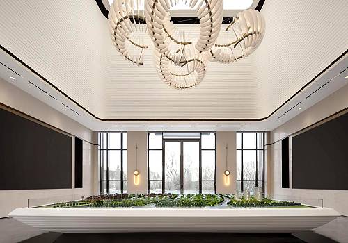
Interior Design - Retails, Shops Department Stores & Mall
Entrant
CLV.Design
Category
Interior Design - Commercial
Entrant
Backbone Branding
Category
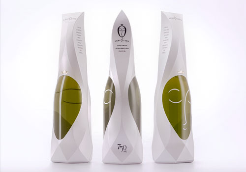
Packaging Design - Dairy, Spices, Oils Sauces & Condiments